mappers
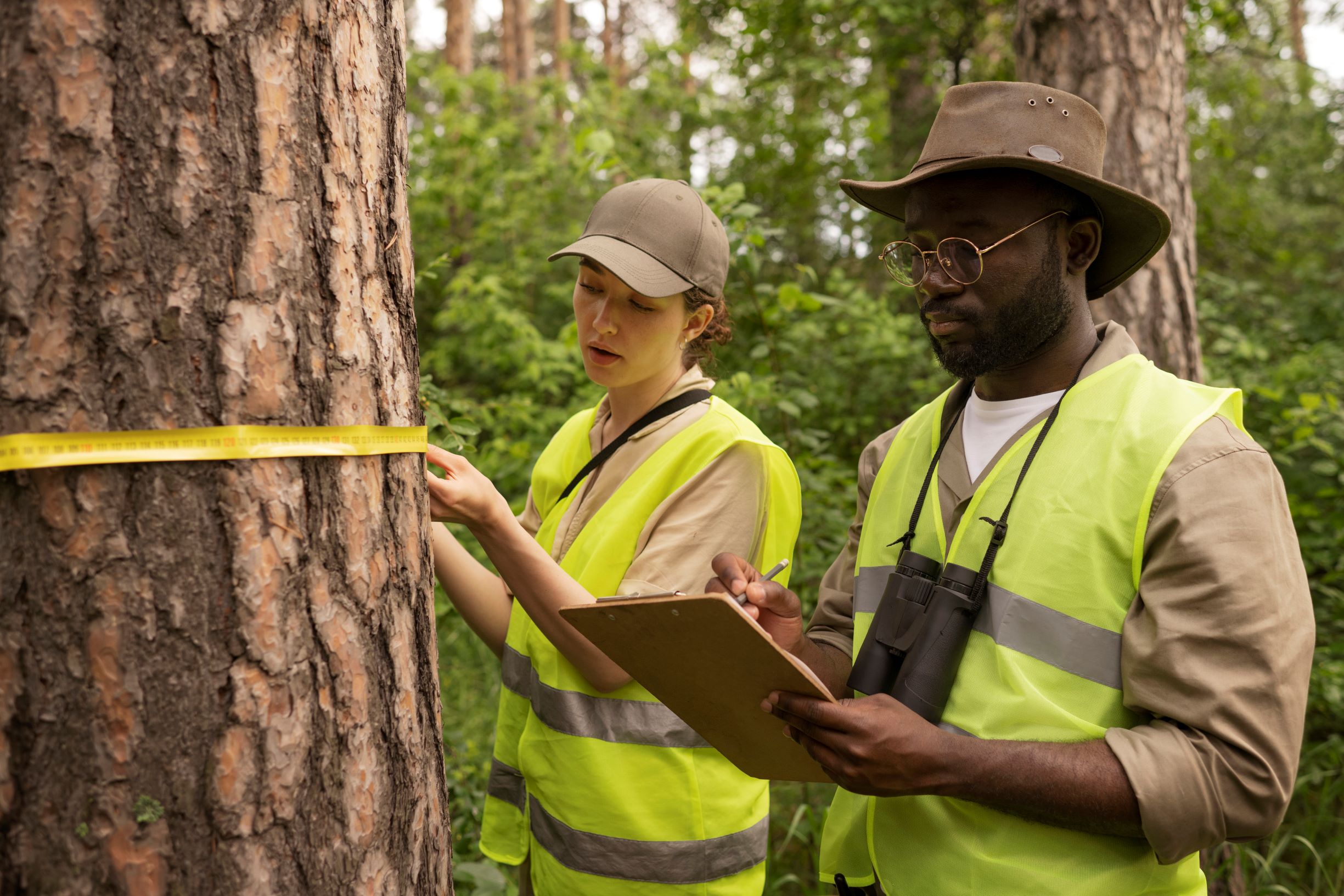
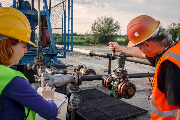
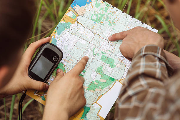
Our mappers at Geodynamics Consolidated Limited are skilled in producing precise and in-depth geographical data to assist a range of sectors, such as resource allocation, urban planning, building, and environmental management. Utilizing cutting-edge technologies like satellite images, drones, GIS (Geographic Information Systems), and precision mapping tools, we produce thorough maps that are customized to each project's particular requirements.
Topographic mapping, cadastral mapping, infrastructure mapping, land-use planning, and 3D modeling are some of the mapping services we offer. In order to provide well-informed decision-making and effective project execution, these maps offer vital insights on topographical features, property boundaries, infrastructure layouts, and environmental conditions. Whether for environmental monitoring, utility management, or land development, our mappers generate accurate, dependable data that leads to positive results. At Geodynamics, we're dedicated to meeting your demands by offering mapping solutions that seamlessly blend professionalism, creativity, and accuracy.


