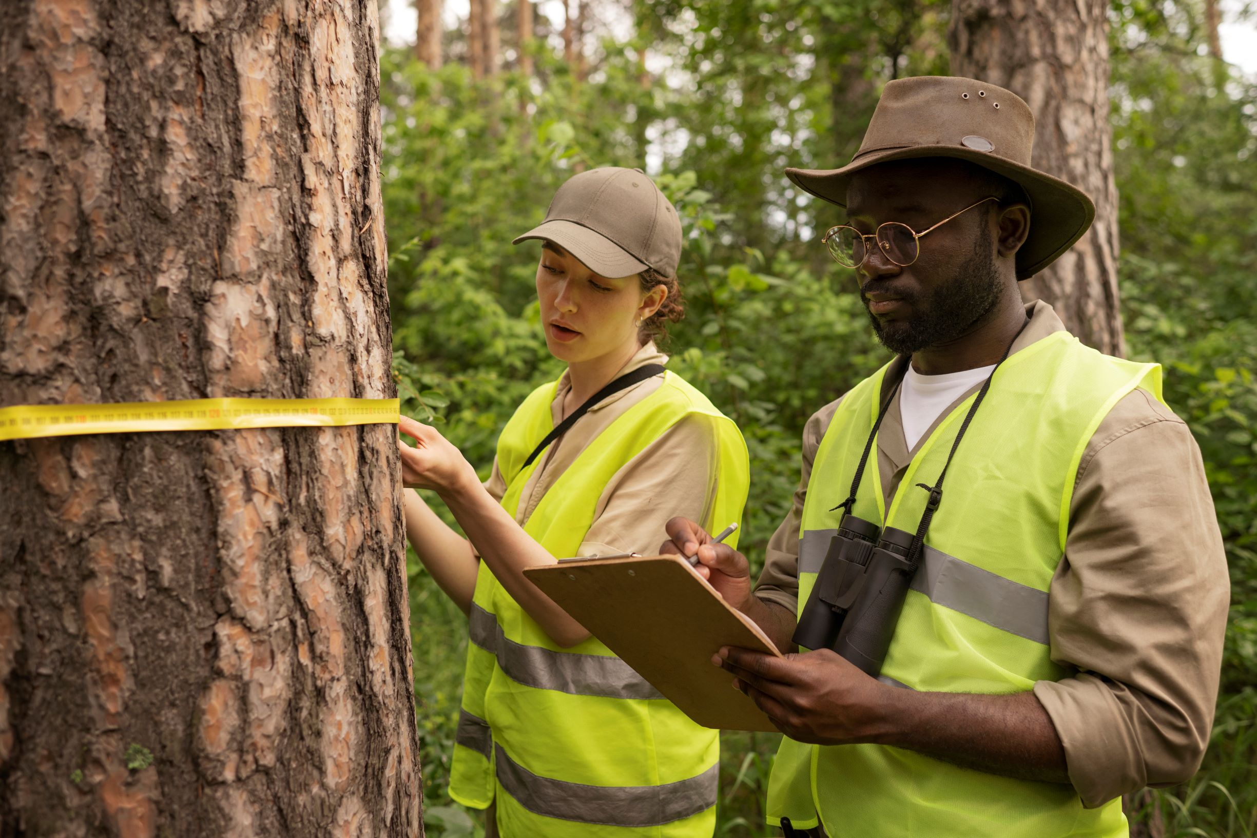
side-view-forest-wardens-wearing-vests 300

Surveyors

Our highly qualified surveyors at Geodynamics Consolidated Limited are committed to providing accurate and trustworthy surveying services for a variety of sectors. We offer vital information that serves as the basis for effective planning, development, and construction projects thanks to our proficiency in land, topographic, hydrographic, and geodetic surveys. To guarantee unmatched precision and efficiency, our surveyors use state-of-the-art equipment like GPS units, total stations, drones, and 3D laser scanners. In order to satisfy the unique needs of our clients in the real estate, infrastructure, oil and gas, and environmental management sectors, we specialize in services including boundary determination, property subdivision, construction layout, site mapping, and environmental assessments. Our surveyors provide outcomes with professionalism, accuracy, and efficiency whether you're managing resources, planning a construction project, or settling property disputes.

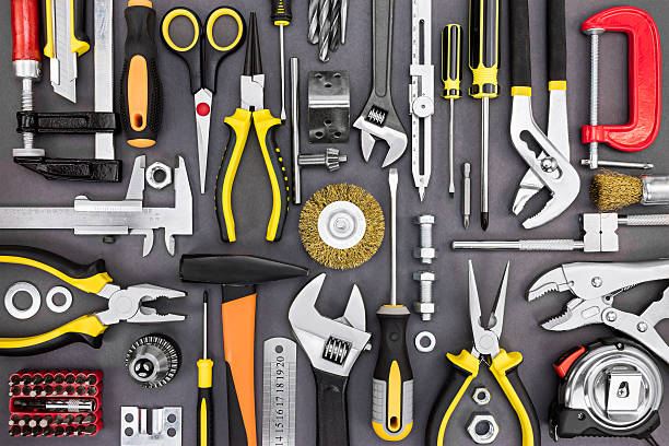
set of hand various work tools on grey background top view including different kinds of wrenches, pliers, clamps, calipers and other

engineers

Our engineers at Geodynamics Consolidated Limited are committed to providing creative, useful, and sustainable solutions for a range of sectors. We offer complete services that support infrastructure development, construction, and environmental management, with experience in civil, structural, environmental, and geotechnical engineering. Our engineers make sure that every project is carefully planned, conceived, and carried out to meet the highest standards of quality and safety by working closely with surveyors, architects, and project stakeholders. Our staff uses state-of-the-art technology and years of experience to deliver customized solutions for every customer, whether they are building roads and bridges, developing sites, designing utilities, or conducting structural inspections. We guarantee accuracy and efficiency at every stage with our proficiency in feasibility studies, project planning, construction supervision, and post-construction evaluations. Our engineers at Geodynamics are dedicated to providing clients with outcomes that not only meet but surpass their expectations, enabling them to successfully and confidently accomplish their objectives.

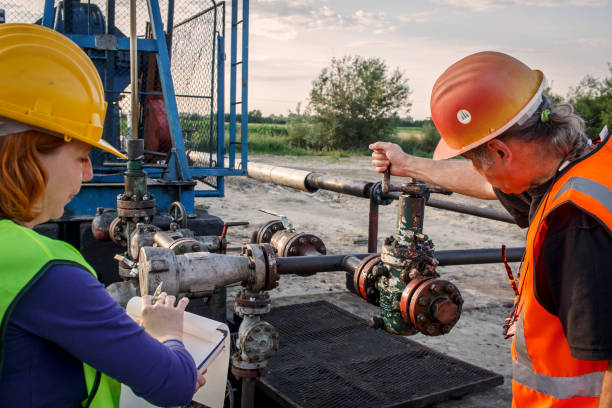
Engineers at oil field check pressure valve

Hydrographer

Our hydrographers at Geodynamics Consolidated Limited are experts at providing accurate and thorough data about underwater environments to support resource management, construction, navigation, and environmental protection projects. We offer comprehensive insights into seafloors, riverbeds, coastal zones, and other aquatic terrains using cutting-edge hydrographic equipment, including GPS, sonar systems, multibeam echo sounders, and bathymetric mapping tools. Coastal erosion studies, dredging assistance, underwater infrastructure assessments, depth measurement, and seabed mapping are all included in our hydrographic services. Oil and gas, offshore construction, maritime navigation, and marine environmental management are just a few of the businesses that depend on these services. Following worldwide hydrographic standards, our staff makes sure that every project is carried out with the utmost precision and expertise. You can count on our hydrographers at Geodynamics to provide you with data and insights that can be put to use.

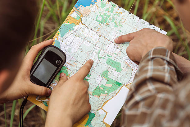
two young tourist determine the route map and navigator

mappers

Our mappers at Geodynamics Consolidated Limited are skilled in producing precise and in-depth geographical data to assist a range of sectors, such as resource allocation, urban planning, building, and environmental management. Utilizing cutting-edge technologies like satellite images, drones, GIS (Geographic Information Systems), and precision mapping tools, we produce thorough maps that are customized to each project's particular requirements. Topographic mapping, cadastral mapping, infrastructure mapping, land-use planning, and 3D modeling are some of the mapping services we offer. In order to provide well-informed decision-making and effective project execution, these maps offer vital insights on topographical features, property boundaries, infrastructure layouts, and environmental conditions. Whether for environmental monitoring, utility management, or land development, our mappers generate accurate, dependable data that leads to positive results. At Geodynamics, we're dedicated to meeting your demands by offering mapping solutions that seamlessly blend professionalism, creativity, and accuracy.

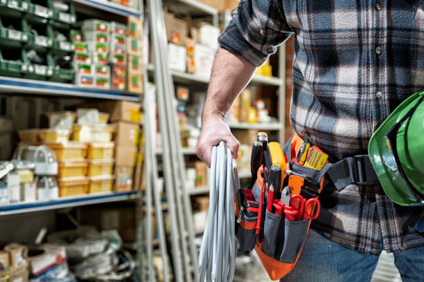
Electrician in the electrical parts store is holding the roll of electrical cable. Construction industry, electrical system.

Sales and servicing of Surveying Equipment

With a focus on the sale and maintenance of surveying equipment, Geodynamics Consolidated Limited makes sure that engineers, surveyors, and other experts have access to dependable instruments for accurate and effective data collecting. We provide a large selection of top-notch surveying tools from top manufacturers worldwide, such as total stations, drones, 3D laser scanners, GPS/GNSS receivers, levels, and range finders. Our tools are made to satisfy the requirements of contemporary surveying, including precision, robustness, and field performance. We provide thorough servicing and maintenance services in addition to sales to keep your equipment operating at its best. To keep your equipment accurate and in line with industry standards, our staff of skilled technicians offers software updates, calibration, and repair. Whether you’re looking to purchase new equipment, upgrade your existing tools, or require maintenance services, Geodynamics is your trusted partner for reliable surveying solutions. With our commitment to quality and customer satisfaction, we ensure that your projects are supported by the best tools and expertise available.